
UAV Photography
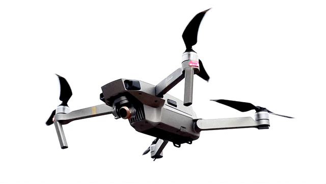
FAA PART 107 CERTIFIED REMOTE PILOTSee examples of video work on bstk studio’s youtube channel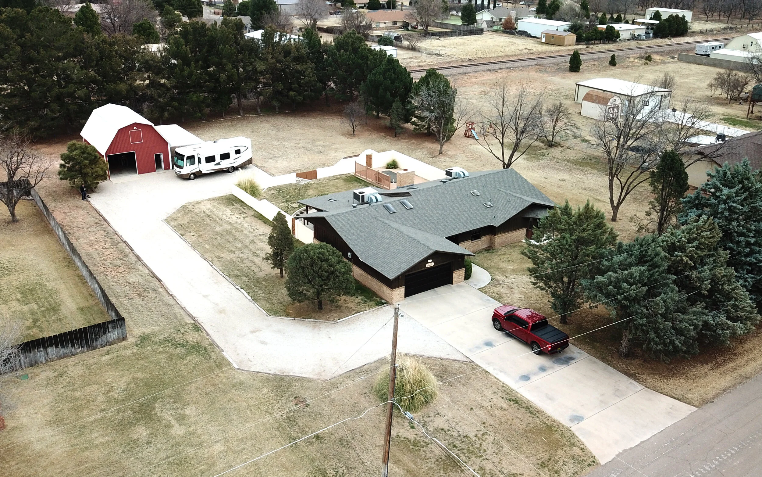
Real Estate
BSTK can provide property owners and real estate agents simple aerial photography for listings and sales of properties within the local area. See pricing sheet for details and asset descriptions.

Construction
Aerial photography is ideal for documenting construction sites, verifying progress, schedule monitoring, and inventory of field assets. Site images can be captured at regular time intervals, at milestone dates, or on demand as required by Owners, Contractors, Engineers, and Financial Institutions. Photo and video documentation is available.

Aerial Site Mapping
Up-to-date site imagery can be difficult to source in rural areas, or in areas with recent construction improvements or storm damage. BSTK can provide up-to-the-hour orthophotos of areas large and small. These images can be imported into mapping software, CAD programs, GIS services, or simply used for marketing, records, or insurance claims. These site assets are produced using hundreds of geospatially located photographs that are digitally combined to produce the finished image.